
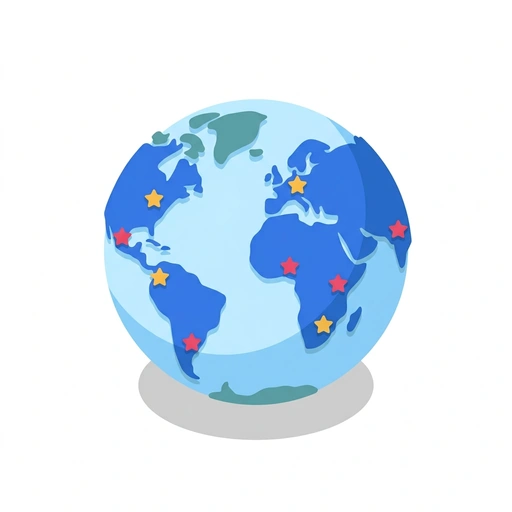
World Maps and Capitals
Like Duolingo, but for World Maps and Capitals. Tomo turns the whole topic into a game you play five minutes a day, until it actually sticks.
For the part of you with thirty open tabs that never became anything.
A short one: 12 levels across 2 sections, about 24 minutes end to end, roughly 5 days at five minutes a day. It moves through Building Your Mental World Map and Cracking Capitals and Confusing Borders. It starts from scratch.
Free forever · No credit card · iPhone & Android

Key ideas in World Maps and Capitals
- The Equator splits the globe into Northern and Southern hemispheres, while the Prime Meridian splits Eastern and Western
- South America sits entirely west of the Prime Meridian and mostly south of the Equator (Southwestern quadrant)
- Major landmasses have recognizable outline shapes that act as instant visual anchors
- East Africa tapers to a sharp wedge-like horn
- Western South America forms a long, unbroken crescent spine
- Peru sits along the Pacific Ocean on South America's west coast
- Looking near the Indian Ocean or Arctic Ocean instantly places you on the wrong side of the world
- Landlocked countries have no coastline and sit completely surrounded by interior borders
- Finding large coastal nations first helps you look inward at the land trapped between them
- Massive, distinct nations like India act as regional hubs
- Nepal and Bhutan border India's northern mountains, while Bangladesh sits tucked into its eastern bay
- Colombia and Ecuador sit at the northern stretch of the Pacific coast
- Peru forms the middle Pacific coastline of South America
- Chile runs all the way down the southern Pacific edge
- A peninsula is surrounded by water on three sides, creating a natural grouping for the nations inside it
- Spain and Portugal are bound together on the Iberian landmass
You've tried the other tabs
Thirty open tabs. Four facts you actually kept.
You watched. You nodded. By Sunday it was gone.
One answer, then back to scrolling.
Eight weeks. You meant to finish. You didn't.
Tomo gives World Maps and Capitals the Duolingo treatment: levels, streaks, and quick quizzes that test what you just learned. That game loop is what the tabs above never had, so it's the one you actually finish.
Here's what playing it feels like
A real question from this course. Take your best guess.
You want to find South America on a blank globe. Where should you look first?
Get it right to open this lesson and 11 more in the app.
Where World Maps and Capitals takes you
Build a reliable mental world map without brute-force memorization. Learn how to place countries by geographic anchors, decode tricky borders, and never fall for classic capital city traps.
- 1
Building Your Mental World Map
- Finding Your Global Anchor Points
- Grouping Countries by Coastline and Terrain
- 2
Cracking Capitals and Confusing Borders
- Spotting Compromise and Planned Capitals
- Untangling Commonly Confused Neighbors
2 sections · 4 units · 12 levels. Built to play, not to enroll.
You pick the voice
World Maps and Capitals is taught in the The Bestie style: your friend who just gets it. Want a different feel? In the app you can spin up the same topic in any of Tomo's teaching styles. Same facts, totally different vibe.
More Travel on Tomo
Navigating the American Metropolis
Go beyond the skyline to understand how America's 100 largest cities actually function. Explore the hidden patterns of urban growth, the logic of city layouts, and the unique identities that define the modern US landscape.

Travel Like a Local
Move beyond the tourist traps by mastering the logistics of deep, independent travel. Learn to navigate unfamiliar regions with the confidence of a resident and the strategy of a pro.
The Global Perspective: Navigating World Cultures
Move beyond basic facts and learn to navigate the subtle social cues, unspoken rules, and deep-seated values that shape how people live and interact across the globe.
Pinpointing Cities: The Art of the Global Guess
Move beyond basic map-reading by using environmental clues, infrastructure, and solar physics to locate any city on Earth with surgical precision.

Exploring the Emerald Isle
Move beyond the tourist traps to experience Ireland like a local. Master the art of the pub session, navigate the winding backroads, and uncover the hidden history tucked away in the countryside.
Driving the European Road
Master the unwritten rules of the Autobahn, navigate complex cross-border tolls, and confidently pilot an electric vehicle across the continent.
Start World Maps and Capitals today.
Download Tomo, search World Maps and Capitals, and play your first lesson in under a minute.